As residential growth continues on the recently extended Whitshed Road, more and more locals are driving the popular seven-mile byway that was once known as Three Mile Bay Road.
Until the 1950s, a gravel road extended just 3 miles, originally to access a major logging operation that started with the construction of a city called Cordova and a railroad that stretched over 200 miles to massive copper deposits near McCarthy.
At least five sawmills were ripping up timber as fast as they could, for everything from building materials to railroad ties. Beside the Three Mile Bay operation, another was located right downtown, near the site of today’s Little League field.
In 1913, a young man named James “Nick” Nicolet arrived in Cordova, landing a job as a brakeman and then conductor for the CR&NW Railway. Soon he was shuttling passengers on and off trains at the Cordova Station, which was across the street from today’s baseball Snack Shack. On his way north, Nick had met a woman named Pearle in Victoria, B.C.; soon they were married, and they had three children named Ralph, Edith and Harry.
In 1930, Ralph, described in the Cordova Times as a “very handsome and popular lad of 13,” was died in an accident while duck hunting in the vicinity of the creek that flows into Three Mile Bay. In 1936 the USFS named it Nicolet Creek.

For many years, a picturesque curved wooden bridge crossed the creek, as displayed in a photo collection of Cordova pictures belonging to my wife’s mother May Ekemo. The color in the photo was created by “tinting”, a process used before the development of readily accessible color photography.
The bridge stood for many years, and tides flooded Three Mile Bay prior to the1964 earthquake. In 1960, Earl Brown bought the nearby sawmill from Lloyd Van Kirk, and followed the tradition of towing in log rafts from all over Prince William Sound until operations were shut down in 1978. Brown’s daughter Diane Brown Rubio recalled swimming with her brother Roger from their home near the sawmill to the bridge at high tide prior to the earthquake, so “we could jump off it into the bay.”
A closer examination of the Ekemo photo also reveals a number of small houses below the road on the north side of the creek. One belonged to Bob Ingebo, a longtime fisherman who often visited the nearby Brown family. HIs gravesite is on a hill overlooking Sheridan Glacier at the end of the Sheridan Glacier Road.
By the mid-’80s, the bridge was deteriorating and in need of repairs. The understructure was built of creosote materials, but the railings and deck were in rough shape.
Under the supervision of Mel Johnson, Manager of the Alaska Department of Transportation Station at Mile 13, his state crew installed a large culvert downstream from the bridge, which also created a dip in the road. By then, the road extended all the way to the far end of Hartney Bay, and was formally named Whitshed Road.
A number of concerns — rusting of the galvanized culvert, ability to handle large water flow, impact on salmon spawning, and highway safety due to the depression in the road — led to the installation of a new culvert last year.
Wilson Construction tackled the project. Turns out, the 18-foot diameter 120-foot-long aluminum culvert they were assembling was the biggest in Alaska, according to State DOT inspectors. Among the engineering challenges, Wilson’s crew had to build a diversion road to handle traffic, plus remove bedrock where they thought rock fill would be needed in a muddy subsurface.
Wilson’s owner John Baenen also discovered the culvert was heavier than thought.
“We did all the calculations, and figured our crane could lift it in two sections,” he said. “However we forgot to add in the weight of 7,000 bolts, which was surprising, so we had to divide it into three parts.”
“We also faced a June 15 deadline,” said Baenen. “Due to runs of salmon in the creek. Weather plus unexpected delays, such as the bedrock, put us behind schedule. So we were given an extension, but finished only two days late.”

A view of the new culvert from the same spot as the Ekemo photo was taken is now almost completely blocked by tall trees. The old bridge remains standing, and what will happen to it is an unanswered question. Removing it was not in the Wilson contract. Former local DOT station manager Jack Stevenson described it as a major concern, with holes in the decking and no guardrails. Requests to remove it were not approved, so his crew eventually dug trenches and built rock piles to prevent public access. It can be viewed from the highway above the new culvert.
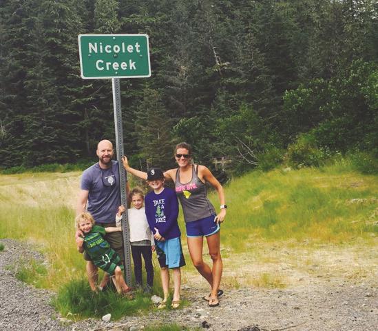
Meanwhile, the final touch on the project was completed this spring, with the installation of a new Nicolet Creek signpost.
So much history is reflected in the simple green and white sign. The creek flows from the Heney Range, named in honor of Michael Heney, who was Superintendent of the CR&NW Railroad construction. And it is named after the son of a man who served as the conductor of trains over those famous tracks from 1913 until the railroad shut down in 1938.


