An anonymous survey and interactive map which allows community members to voice their opinions, suggestions and concerns will close at the end of this month.
Visit www.cordovacompplan.com to take the survey, participate in the interactive map to comment anonymously about specific locations in Cordova and stay up-to-date on the Cordova Comprehensive Plan Update schedule.
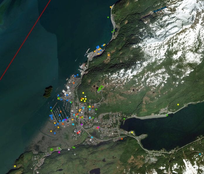
Currently, the map has more than 120 comments ranging in areas from Shepard Point, Whitshed Road and the Cordova harbor to the Merle K. (Mudhole) Smith Airport.
Through this interactive map, read anonymous comments about various locations throughout the city and share your own comments.
“Financial incentives for maintaining historical look of buildings on main street,” said one commenter.
“Create paved bike path to airport. Use existing bridges, but have trail 10-15 feet off highway. Begin path at Eyak River bridge,” said another.
The interactive map and survey comment period will end Dec. 31.
Responses from the survey and map will be used to help develop the updated Cordova Comprehensive Plan, scheduled to be finalized in the fall of 2019. The Comprehensive Plan will help create a long-term vision, community goals and practical short-term strategies. The last time Cordova’s Comprehensive Plan was updated was in 2008.


