2 p.m. Monday, December 6, 2021
COPPER RIVER HIGHWAY AVALANCHE HAZARD
Current: CONSIDERABLE
Outlook: The hazard will remain elevated through Tuesday.
BACKCOUNTRY AVALANCHE HAZARD
Above Tree Line: HIGH Avoid steep western aspects.
Tree Line: HIGH Avoid steep western aspects.
Below Tree Line: CONSIDERABLE Beware of roof slides and avoid large paths.
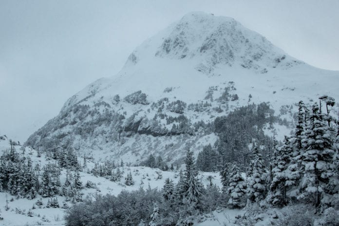
A large storm continues to bring heavy precipitation. A foot of dense snow has accumulated at sea level so far. Models suggest another 2-3 inches of water, which will translate into another 2-3 feet of snow in the upper mountains. Moderate wind will continue to load western aspects. The freezing line will climb to between 500 and 1000 feet Monday night and return back to sea level Tuesday. This means heavy rain at sea level Monday night. The avalanche hazard will remain elevated through Tuesday. We should get a brief break in precipitation Tuesday night, though another storm will move in Wednesday. Avalanche terrain should be avoided, including 5 mile of the highway. Also beware of roof slides.
Backcountry forecasts sponsored by:
Alaska Avalanche Information Center
For more avalanche information from around Alaska visit:
alaskasnow.org
Current avalanche activity is an important factor in avalanche forecasting. Please report all observed avalanche activity.


